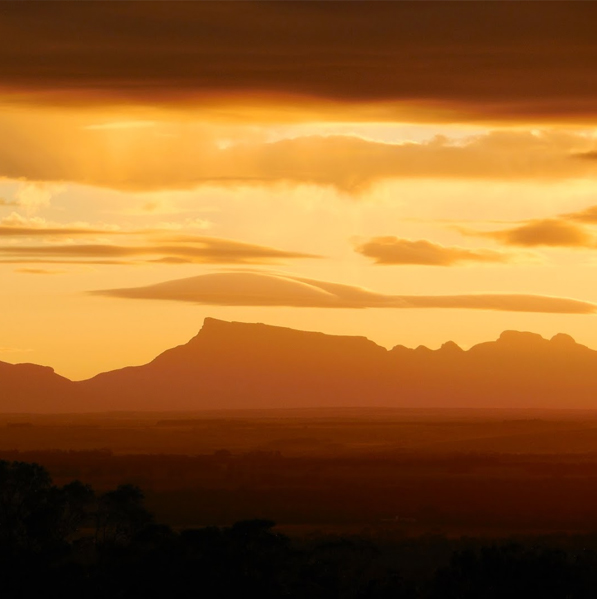
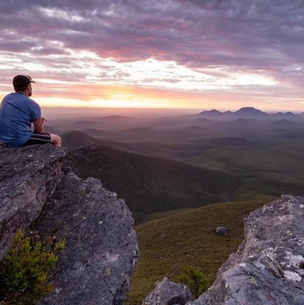
Just 30 kilometres north east of Mount Barker lies the magnificent The Stirling Range or Koikyennuruff, one of Western Australia’s few mountain wildernesses. An ancient landform. The range stretches for 65 kilometres from east to west and the tallest peak Bluff Knoll stands at 1059 metres above sea level. At 2500 – 2900 million years old the bedrock of the Stirling Range is composed of metamorphosed sandstones and shales, believed to have originated from an ancient sea.
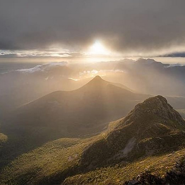
Bluff Knoll was called Pualaar Miial (great many faced hill) by the local Aboriginal people. This was because the rocks on the bluff were shaped like faces. The peak is often covered with mists that curl around the mountain tops and float into the gullies. These constantly changing mists were believed to be the only visible form of a spirit called Noatch (meaning dead body or corpse), who had an evil reputation.
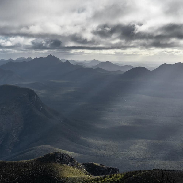
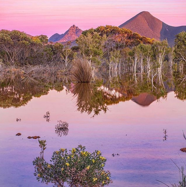
There are a number of other prominent peaks, being Toolbrunup Peak (1052m), Mount Magog and Mount Trio (856m), Mount Hassell (847m), and Talyuberlup Peak (783m). Without any foothills the peaks rise starkly and impressively from the surrounding plains.
The height and south coast proximity of the ranges produces a unique climate giving rise to a location that is famous for rare West Australian snow falls.
The Stirling Range is renowned for its unusual, and sometimes spectacular cloud formations. Park visitors may notice two types of unusual cloud formations about the peaks, often when the rest of the sky is clear.
A shallow, low-level stratified cloud that drapes over the higher peaks is a familiar sight. Another type of shallow cloud layer may leave the higher peaks exposed, which is a unique sight in Western Australia.
The unusual climate also gives rise to a range of wildflowers that are staggering in both their number and beauty. The National Park is one of the world’s most important areas for flora, with 1,500 species (many of which grow nowhere else) packed within its boundaries and 123 Orchid species.
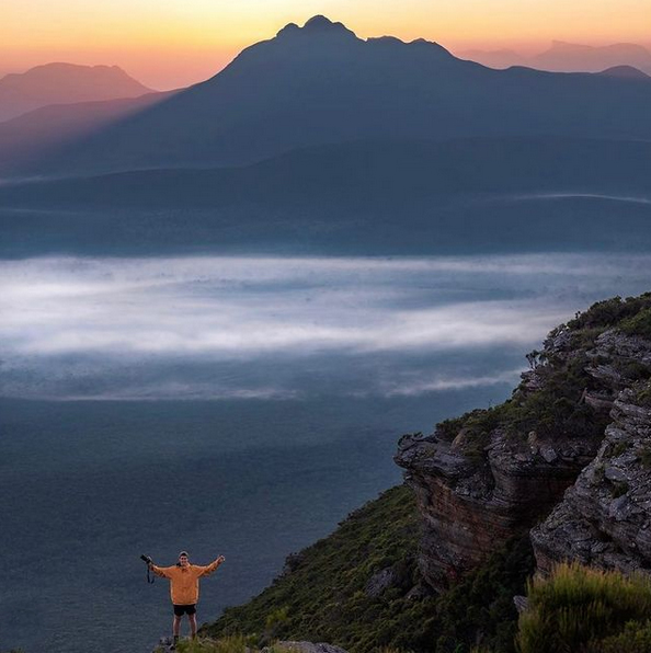
The Stirling Range National Park is a mecca for sightseers, flora lovers, bushwalkers, trekkers and rock climbers alike.
Walks in the Stirlings
Preparation and Survival – The walks are of varying grades, the weather can change quickly and park passes are required. Make sure you assess the walks and pace yourself in accordance with your fitness and health, wear and take appropriate clothing, footwear and sunscreen, don’t overload yourself and take plenty of water. Please DO NOT rely on mobile phones for communication as coverage is scarce at best in this area.
Long Treks – Sadly, there have been fatalities and resource expensive recoveries. Anyone considering long ridge treks MUST therefore, undertake suitable preparation and appropriate precautions. Please consult with and notify the Stirling Range National Park rangers or the Albany District Office to obtain more detailed information. (Stirling Range National Park office – 9827 9230; Albany District office – 9842 4500). If you are planning to hike off marked trails, abseil or rock climb, please register your details at the shelter in the picnic area across the road from Bluff Knoll Road entry station. If you plan to hike on an established walk, no registration is required. It is recommended that you equip yourself with an EPIRB or Personal Location Beacon(PLB).
Download the Stirling Range Trails App to stay connected https://www.stirlingrangetrails.com.au/download-app